
Eternal Angler
Administrator
Now wouldn't it be cool if we had some type of addon for the Gladius Mini or other underwater drones where we could map out the bottom of the ocean, lake, river, or even pond? I'm not familiar with this technology, but I've heard that you would need lateral movement to do this. And rumor has it that Chasing Innovation's new underwater drone will feature lateral movement, may this is one of their new features for that ROV?
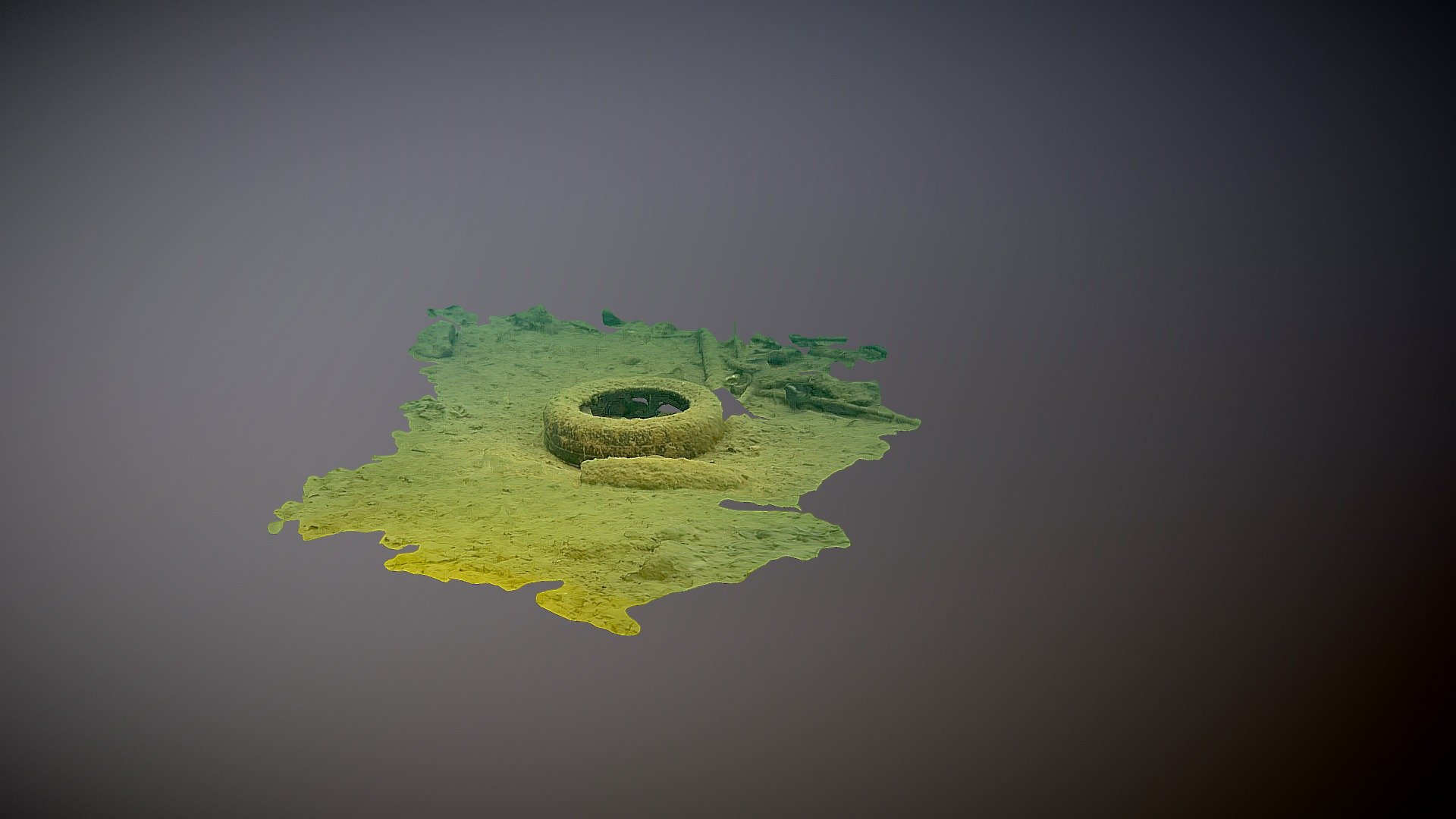
Anyways, here's a test shot from the Gladius? Question is, is this the mapping test from the new Chasing Innovation drone? Someone spontaneously posted this 3D image on Facebook, it does say it's from 9 months ago, the detail is quite extraordinary, this would be a great tool for fishing.
 sketchfab.com
Anyways, here's a test shot from the Gladius? Question is, is this the mapping test from the new Chasing Innovation drone? Someone spontaneously posted this 3D image on Facebook, it does say it's from 9 months ago, the detail is quite extraordinary, this would be a great tool for fishing.
Gladius Test - 3D model by Trygve Almquist (@dji900)
Simple model from frame extraction - Gladius Test - 3D model by Trygve Almquist (@dji900)
sketchfab.com